Before
we leave in the morning one of the cleaning ladies wants a picture of the
bikes, this is not the reaction we expected after the bikes have been dripping
mud on her floor. She was so excited about the photo we got her to sit on the
bike, she seemed to very happy about this, she must ride a moped or something
and the big bike is a novelty item.
 |
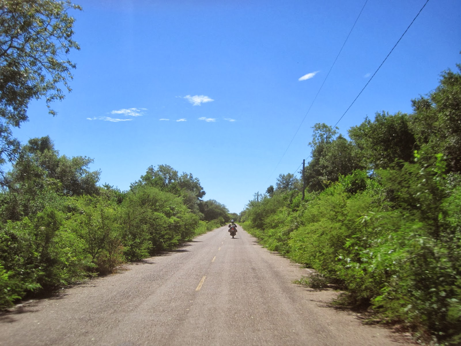
| Cool bridge in the middle of nowhere. |
The
rain does not bother us until we get to a road block about 40km from Potosi. We
pull up to the front of all the vehicles and find a friendly French couple
travelling on a Ural motorcycle w/sidecar. They said they had been there a
while and were actually getting out their stove to make some tea, a local man
told us not to proceed as the protestors would throw rocks at us. This seemed a
little extreme so we thought we better wait it out and not try to go through,
sitting in rain lost its’ attraction after about 3minutes and I was soon
looking for options. I scanned around the area and just past the line of truck
there was a gas station with a canopy. That seemed like a better spot to wait
than out in the rain so we made our way around the busses and cars, between
some of the rocks that had been scattered on the road and then into the gas
station.
I
did not even stop under the canopy, I made a judgement call to only pass under
the canopy and go to the road block which consisted of a bright green dump
truck and about 5 tons of scattered rocks.

I
got off my bike and did the friendly tourist thing by smiling and nodding to
what looked like the authority figures in the crowd. I pulled out my camera and
they seemed okay with this, after all what is a protest if there are no photos to
prove it happened. One older gentleman made eye contact with me then gave a
customary one arm flap to indicate that I should go through. I asked via
charades about the rock throwing, he shook his head and gave another arm flap,
that was my queue to finish taking pictures and get going. We weave around the
rocks that litter the road for about 1.5km, then there was about another 3km of
rock on only one side of the road, then a whole bunch more buses and vehicles on the other end of the blockade. The system seemed to be that the buses would
bring people as far as the road block then the people would walk through the stones
to the buses waiting on the other side. The only thing is they would sell a
full fair ticket and after walking the 5km roadblock the people were faced with
paying for a second ticket on the other bus. What a lovely system.
Anyway,
back on the move we complete the last 40km to Potosi without incident, the rain
turned into scattered showers and by the time we hit the edge of the city it
was almost sunny. Just a teaser though, by the time we checked into the hostel
it was raining hard again. The hostel was a nice refuge from the rain as the
central courtyard was covered with a roof made of clear corrugated plastic, so
the light could get in which made the courtyard a nice gathering spot for the
guests, and two motorcycles.

Our room was big but basic, the bed comfy and the
shower actually had HOT water, not just the luke-warm stuff they pass off in other
places. After a cold wet day of riding that shower felt like heaven on earth.
No time to sit around, we had to find something to eat, down in the entrance we
see the French lady from the road block, she is checking into the Hostel as
well but can’t find a place to park the Ural. When I was shopping around for
hotels one of the desk clerks mentioned a parking garage, I asked the lady at
the desk and she indicated it was one block this way and two blocks that way.
Good enough, I told the French lady to wait and I would go check it out, sure
enough it was roughly where she said and because it was for parking cars the
Ural would fit through the gate. Once the French folks were settled into the
garage we left them to their business and got on with finding some food. During
supper we discussed how convenient it is to be able to roll the bikes into
pretty much anywhere, while the Ural w/sidecar would always require a parking
garage of some sort, preferably close to the hotel which could really limit the
options.

After
supper we checked our emails and “Phil the Kiwi” was on his way from Sucre
tomorrow so we would be able to do the mine tour together on Monday. We had
hoped to do the tour on Sunday and get out of town but there were no tours
running until Monday. Some kind of slave labour day off or something, so we
hang out at the hostel most of the day hiding from the heavy rains, napping and
researching where to go next. Potosi is definitely on the tourist trail as the
Hostel is full of people from all over the world, we ate breakfast with a young
guy from England and another from Sweden. There was a group of girls from
Argentina or Chile and they made a big batch of rum balls and were selling them
to supplement their travel budget or at least recover the cost of supplies.
There was also a bunch of people from Japan, there must be lots of tourist from
there as the hostel had signs printed in Japanese as well as English.
On
one of our short outing we bumped into a couple of big BMW bikes coming out of
the Hostel across the street, they had a wider doorway so the big bikes fit
without taking off their saddlebags. The two riders were from Spain and
Argentina, Alicia had ridden around the world solo and Andreas is an offroad tour
guide in Arg. We talked briefly then exchanged contact info, pictures and
because Alicia is Spanish we had to do the customary double cheek touch &
chow thing, then they were off down the street. I must say we were shocked at
how such a small person could ride a 700GS around the world, she was like 4’5”
tall and maybe 110lbs under all that riding gear. She gave us a sticker from
her journey to put on our bikes. My bike is slowly changing from white to
stickers.


Finally,
Monday morning and we can get on with the mine tour. Potosi was founded back in
the day due to an significant strike of Silver in the surrounding mountains and
at one time was the largest city in the country. The mountains today are still
producing small quantities of silver but the bulk of the resource has been
depleted and now only tin and lithium are extracted in large quantities. Silver
is still mined by both Cooperative and independent miners and we were told that
on average each miner will extract on average about $500 per week. In a really
good week they could pull in $1000 which is a really good income in Bolivia,
but of course it is not consistent and some weeks is a bust. The tour started
by making a stop at the “miner’s market” this is where we are supposed to buy
gifts for the miners, as our tour is interrupting their work and they do not
make much money any gifts are welcomed with open arms. Now by gifts some of you
may be thinking trinkets and stuff, not in Bolivia, here we buy dynamite, accelerator, blasting caps, fuses, pure alcohol, coca leaves, Fanta, water,
gloves, all kinds of mining essentials. There is something a little exciting
and unsettling at the same time about buying dynamite at the corner store with
no questions asked. By the way, four sticks of dynamite costs $20Bs or about $3Cdn.
What good is dynamite without fuses pre-loaded with blasting caps, I laughed
when the lady handed me four fuses each was about 6” long or 30 seconds worth
of running time once lit. No messing about here.


The
first person we meet on the tour is a little old lady sitting in the dirt apparently
sorting ore from the independent miners. Usually this is a job for the wives
and daughters of the miner but this lady was a widow so she relies on the
courtesy of others to make a living. She would make $10Bs per day sorting for
whoever will hire her. Our guide asks one of us to give her a bag of coca
leaves.

In case you did not know, coca leaves are
chewed by the miners, the guides, truck drivers, old ladies and children as it
is a miracle “cure all” to these people. They chew big wads of it like chewing
tobacco except they swallow the liquid, supposedly it helps keep their energy
level up and prevents the onset of miner’s lung. Every four hours they spit out
the wad and start again, putting the leaves in their mouth one at a time,
pulling the center vein out of the leave, and chewing up the balance. They also
use a accelerator made out of fruits and veggies to aid in the breakdown of the
leaves, they use just a fingernail full of this greyish paste per wad. Sounds
attractive don’t it. So, after the guide and the little lady have a chat we
proceed to the entrance of the mine and wait for our guide to make the
arrangements for us to enter. This takes about 30 minutes and we are kept
entertained by the group of guys trying to boost a car. We laugh to ourselves
as we watch the circus act. Here is a question. How many Bolivians does it take
to boost a car.

If
you can’t make it out there were 13 men contributing to the one ring circus
act.
Now
that all the arrangements are made we can proceed underground, we were given
rain gear, rubber boots, hard hats, and headlamps back at the Hostel and we
finally get to use them. The entrance to the mine is made for the locals who
are about 5’5” tall, so the majority of us are bent over forming a line that
looks like a string of elephants marching across the Serengeti, I guess it is
time for the miners to laugh at us. The tunnel is shored up with old posts and
whatever else they could salvage, some are cracked others are broken, but we
keep going deeper and deeper into the mountain.


Once in about 50 feet we are
able to stand upright again, at least temporarily as the roof height varies
with every step. We were warned about the tight access and that if anyone was
claustrophobic this would be the wrong attraction to undertake. We come to a
bit of a cave Cathedral and we are instructed to sit and listen, our guide
speaks English but she loses something in the translation, we oblige and this
is where we are introduced to a miner and hear his story. He has been working
in the mine for 23yrs, his father for 32yrs, his 4 brothers as well for various
lengths of time. They pick away at the mountain in what seems like a futile
effort, or maybe it is just a show for tourists and the machines are in a
different part of the mine doing the real production. He explains the plight of
the miners and how the industry and labour rules have changed over the years.

Currently the independent miners have no benefits or pensions, the cooperative
miners have both and also receive a share of the ore produced on top of their
base wages. He also explains the rituals that the miners perform every shift in
order to ensure they make it out of the mine. Above ground they practice
Catholicism, underground they are in the Devil’s lair and perform more Pagan
type rituals. They have created statues of their underground Gods upon which
they bestow offerings of coca leaves and alcohol. They put leaves on the head
and in the hands of the statue, then prinkle a bit of alcohol on the hands,
shoulders, head and penis of the statue. The last offering of alcohol is
dripped on the ground in front of the statue for Mother Earth and one shot for
the miner to seal the deal. This ritual is to prevent accidents and cave-ins
underground and they truly believe it helps. The guide informs us we are to
give him a few gifts of dynamite and coca leaves then we proceed on to meet his
father. Dad is a round mad plopped in the dirt with a little hammer and a piece
of burlap. He is in charge of doing the rough breakdown and sorting of anything
the boys give him. He takes each pebble and hits it with the hammer to break
away the waste material and recover the silver. He is literally picking salt
gains out of the pepper.
The
area is small so we have to view the process two at a time. From Dad we go down
another small tunnel, then have to climb up a couple of levels to find a couple
more sets of tunnels.
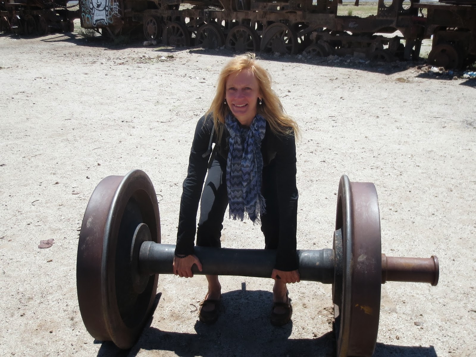
 |
| We would not be allowed to do this in North America and we did not even sign a waiver. |
There is nothing much happening in this area until we are
joined by the blasting expert. We give him some dynamite and he goes to work setting
up the charge, he unwraps a stick of dynamite to reveal the nitroglycerine
inside. Looks like grey silly putty and has about the same consistency. This
stuff is harmless by itself when it is dry, if it is sweating you may have a
problem. The guy quickly wraps a stick with some accelerant (potassium nitrate)
with the plastic bag it came in, then he inserts the blasting cap/fuse, peals
back the loose end to reveal the core of the fuse and asks if anyone want to
light it. This is quiet the life experience and the Swiss guy wins the lotto
and gets to light the fuses. There is about 4 minutes of fuse so we have time
to take a few sparkler photos before the blasting expert takes the dynamite
down an empty shaft and sets them in place for our entertainment. We are all
anticipating when the blast will happen and when it does the tunnels fill will
a very loud rumble followed by a massive cloud of dust and debris. Oh, wait
that was only one kaboom, there were two sticks bang, there goes the second
one. As expected the rest of the tour is less than exciting and we make our way
topside once again. The ride back to the hotel is filled with chatter about the
size of the tunnels and of course the dynamite.

This
is only the start of our day, we have to ride to Uyuni yet this afternoon. We
had checked out of the hotel before the mine tour so we have to get changed in
the courtyard. We get some strange looks from the other guests as we put on all
our riding gear, topped off with our own rain gear. Then we push all three
bikes out of the Hostel and we are on our way. It is raining again but shortly after
I hit the dog the skies clear and we can remove the rain gear for the rest of
the day. He, the dog, just ran out across the road and I could not maneuver fast enough
in the rain to safely avoid him, I just tightened up everything and hoped for
the best. I nailed his ass end and was lucky enough not to wipe out, Brenda
said he ran into the field so he must have been ok. The road is paved so riding
is easy and we could enjoy the scenery the rest of the way. It was different to
be riding with a third bike, Phil joined us on his XT200 Honda, and because his
bike is smaller he would loose lots of speed in the hills, we did not mind as
it gave us a chance to slow down and enjoy the ride.


Bolivians
must all think the same because as we approached Uyuni there was another road
block, this one seemed more organized as there was a guy giving a speech to a
large group of people. They had mini vans blocking the road as well as a single
row of rocks, this was too easy to navigate through and we barely slowed down
until we were at the group of people. A little old lady waved me through and
that was it for the roadblock. The people on the busses had a much harder time.
They had to walk about 6 or 8km from where the busses stopped to where the
taxis picked them up on the other side, and of course pay more for the taxi, no
refund from the bus for not delivering you to said destination.
Uyuni
was a bit of a surprise to us, we thought that because it was a major tourist
destination that there would be a more well set up town. When the pavement
ended at the entrance of the town I knew it was going to be interesting. The
recent heavy rains also added a nice element that all the side roads and any
low spot was filled with water. The main street was actually finished with
paving bricks so it was dry but any side street or ally was dirt and wet. Most
of the hotels are along two streets and we found a nice spot with the help of
our French friends who were sitting in the sun having an afternoon drink, they
had been here a couple of days and were leaving in the morning. They returned
the favor of finding a hotel with a garage, such nice people, I wish I spoke
more French so we could converse properly. The rest of the day was spent
roaming the streets, getting the lay of the land, booking our salt flat tour,
and dropping off our laundry for cleaning. It really needed it.

 |
| More traffic jams. |